
Grand Rapids keeps growing, and with that growth comes pressure on its roads. In the past few days, a new MDOT study on US-131 has sparked local discussion, news coverage, and plenty of opinions. While many people focus on traffic delays, the real story sits deeper. At its core, this study highlights how roadway design shapes safety, access, and daily life in a growing city like Grand Rapids.
This is not just about one highway. Instead, it reflects challenges cities across Michigan and the Midwest face as older infrastructure meets modern demand.
Why US-131 Matters to Grand Rapids
US-131 is more than a route through the city. It connects neighborhoods, supports local businesses, and moves thousands of drivers every day. Over time, however, traffic patterns have changed. Vehicles move faster, volumes have increased, and nearby development has grown closer to the roadway.
Because of this, MDOT completed a Planning and Environmental Linkages (PEL) study to look at safety, operations, and access along the corridor. While the study does not finalize construction plans, it sets the direction for future improvements. In other words, it guides how roadway design decisions may unfold for years to come.
What the MDOT Study Really Examined
At first glance, a PEL study sounds technical. Still, its purpose stays simple. It looks at how a roadway works today and where problems may grow if nothing changes.
For US-131, the study reviewed crash trends, traffic flow, interchange spacing, and how drivers enter and exit the highway. It also examined how pedestrians, cyclists, and nearby neighborhoods interact with the road. Just as important, it considered how businesses along the corridor depend on clear access for customers and deliveries.
Because funding often depends on these findings, the study helps narrow which roadway design ideas move forward. This stage often brings in roadway planning services to flag access issues, spacing concerns, and long-term impacts before any drawings or construction plans exist.
Roadway Design and Safety Go Hand in Hand
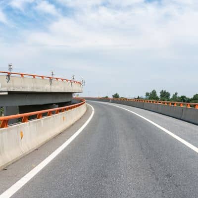
Safety sits at the center of every roadway design decision. Older highways like US-131 were built for traffic patterns that no longer exist. As cities grow, short merge areas, narrow shoulders, and outdated interchange layouts create higher risk.
When engineers review crash data, they do not guess. Instead, they connect patterns to design features. For example, limited sight distance may increase rear-end crashes. Tight ramp spacing may raise sideswipe risks. Over time, small design flaws can create big safety problems.
That is why the US-131 study focuses on how design updates could reduce conflicts before they cause serious accidents.
Growth Brings Traffic, but Design Controls the Impact
Grand Rapids continues to attract residents, employers, and visitors. As a result, traffic demand rises even if roads stay the same size. However, adding lanes does not always fix congestion.
Good roadway design balances movement with access. Engineers look at how vehicles enter and exit the road, where traffic slows, and how signals or ramps interact. Sometimes, better design means smoother flow rather than more pavement.
The US-131 study reflects this thinking. Instead of pushing one solution, it explores options that improve efficiency while respecting nearby land uses.
Wealthy Street Shows the Trade-Offs Clearly
The area near Wealthy Street has drawn special attention. Residents and business owners often raise concerns about safety, noise, and access. From an engineering view, this area shows how roadway design involves trade-offs.
Improving safety may limit turning movements. Enhancing traffic flow may affect driveway access. Supporting pedestrians may change how vehicles move through the corridor.
These decisions are not simple. However, the study helps engineers weigh impacts so solutions serve the greater community, not just passing traffic.
Why Public Input Shapes Roadway Design
Many people feel frustrated during road projects. Delays, detours, and construction zones test patience. Still, public input plays a major role in shaping roadway design outcomes.
During PEL studies, agencies collect feedback through meetings, surveys, and public comments. Engineers then review concerns alongside technical data. While not every request becomes reality, community input often influences final priorities.
This process explains why roadway design takes time. Engineers must balance safety standards, funding rules, and public needs. When done right, the result lasts decades.
What This Means for Developers and Property Owners
The US-131 study also sends a clear message to developers and property owners. Roadway design affects access points, traffic studies, and future approvals. If a corridor may change, projects near it must plan carefully.
For developers, early coordination with engineers reduces surprises. For business owners, understanding future roadway changes helps protect visibility and access. In both cases, proactive planning saves time and money.
This is why civil engineers often review roadway studies long before construction begins.
Roadway Design Is a Long-Term Commitment
One key takeaway from the US-131 study is timing. Roadway design decisions last far longer than construction seasons. Once built, changes stay in place for generations.
Because of this, studies like this one matter. They give cities a chance to correct outdated designs before problems grow worse. They also help communities invest wisely instead of reacting to emergencies.
Grand Rapids now stands at that decision point.
The Bigger Lesson for Growing Cities
Although this study focuses on US-131, the lesson applies everywhere. Growing cities must review their roads before growth outpaces safety. Roadway design should lead development, not chase it.
When cities plan ahead, they protect people, support businesses, and reduce long-term costs. The recent MDOT study shows how careful analysis can guide smarter decisions.
In the end, roadway design is not just about moving cars. It shapes how a city lives, grows, and stays connected.