Understanding Your Plat of Survey After a Land Survey Is Completed
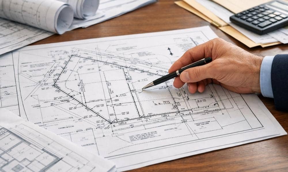
Most property owners receive their plat of survey and go straight to the drawing. They look at the shape of the lot, scan for their property lines, and file the document away. That is understandable. But the drawing is only part of the story. Knowing how to read the full document, not just the picture, […]
Understanding Land Surveys Through Real-World Projects

You’re ready to buy land and build. But wait. One step comes first. Land surveys tell you what you actually have. Not what you think. What’s really there? A survey measures your property lines. It checks for utilities. It shows the ground shape. It finds easements. For Michigan developers, this matters before you spend a […]
How Community Pushback Impacts Subdivision Planning

Subdivision planning isn’t just lines on a map. This week in Grand Rapids, it became clear how neighbors can shape the city. A proposed housing project on the west side changed because residents spoke up. This shows why subdivision planning must include people who live near new developments. Developers need to listen to community concerns […]