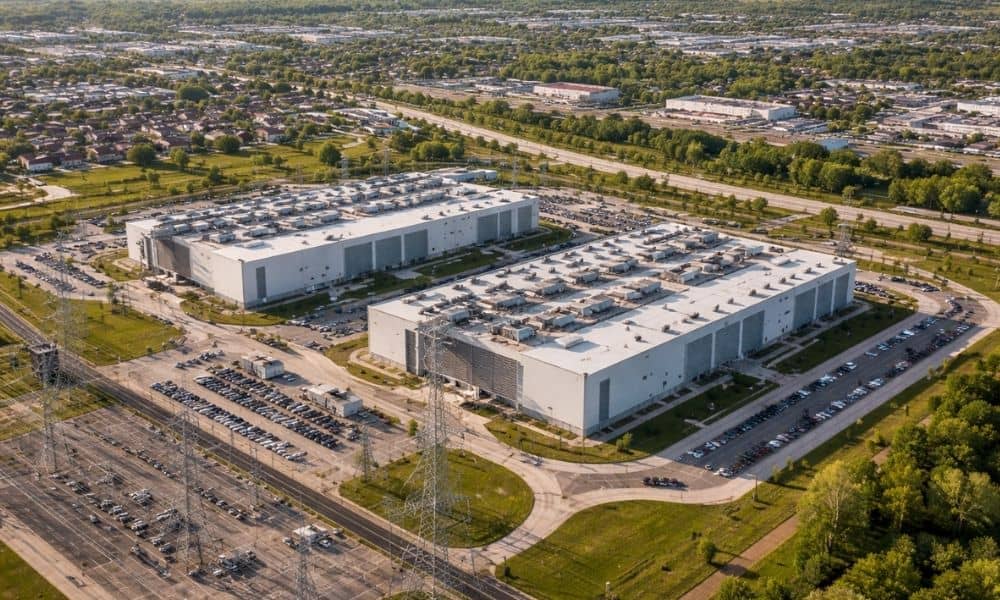
Big tech projects often make the news. Recently, people in West Michigan have talked about something different. It is not about housing or retail projects. This time, the debate is about large data centers planned near the Grand Rapids area. These buildings store and process huge amounts of digital data. However, the talk is not only about technology. It is also about urban engineering and how urban engineering supports city infrastructure when cities grow and new developments place more demand on power, water, roads, and drainage systems.
At first, a data center may look like a simple building. Yet behind the walls is a system of power, water, roads, and drainage. Because of this, many communities in West Michigan are asking an important question.
Can our city systems handle projects this large?
This discussion shows why urban engineering matters in growing cities.
Why Data Centers Are Getting Attention in West Michigan
Data centers are becoming more common across the United States. Companies build them to support cloud services, artificial intelligence, and online tools.
Because of this, places with strong internet networks and open land attract tech companies.
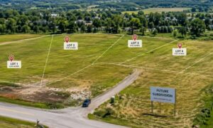
West Michigan fits this description. The region sits near major cities. It also still has space for development. Because of that, companies have started looking at sites near Grand Rapids and nearby towns. At this stage, developers often rely on land surveying services for new development sites to better understand property boundaries and land conditions before moving forward with large projects.
However, residents and city leaders quickly noticed something important. Data centers bring jobs. They also bring new investment.
At the same time, they bring large infrastructure needs.
For example, these buildings use a huge amount of electricity. They also need cooling systems. These systems may use water and energy.
In addition, construction trucks and service vehicles can affect nearby roads.
Because of these concerns, people began asking how cities should prepare.
That question leads to the role of urban engineering.
What Urban Engineering Really Means
Many people hear the term urban engineering. However, they do not always know what it means.
In simple terms, urban engineering focuses on how cities design and manage infrastructure.
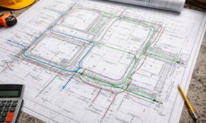
Engineers study how roads, utilities, drainage systems, and land development work together.
Cities depend on these systems every day.
Roads move people and goods. Water systems supply homes and businesses. Drainage systems control rainwater. They also help prevent flooding. Electrical systems power homes, hospitals, and businesses.
Urban engineers look at the big picture.
They ask questions such as:
- Can roads handle more traffic?
- Does the water system support new buildings?
- Will stormwater runoff cause flooding?
- Can utilities provide enough power?
In short, urban engineering helps cities grow in a safe and organized way.
The Infrastructure Challenges Behind Large Projects

The data center debate in West Michigan shows several real infrastructure challenges. These issues appear in many large developments. They are not only for technology buildings.
First, engineers review power demand. Data centers use a large amount of electricity. Thousands of servers stay online every minute. Engineers check if the local power grid can support this load. If the grid cannot handle it, utilities may need new substations. They may also need stronger power lines.
Next, engineers review water and cooling systems. Many data centers use cooling systems to keep equipment from getting too hot. Some of these systems use water. Because of this, engineers check if the local water supply can support the project. Traffic also becomes an issue. Large construction projects bring heavy equipment and delivery trucks.
Later, workers and service teams travel to the site each day. Urban engineers review nearby roads and intersections. They make sure the roads can handle the extra traffic.
Finally, engineers design stormwater and drainage systems. Data centers often cover large areas with buildings and pavement. Hard surfaces stop rainwater from soaking into the ground.
Because of that, water can run off quickly during storms.
Engineers design drainage systems, detention ponds, and grading plans. These systems guide water flow and help prevent flooding.
Why This Matters to Property Owners and Developers
Some readers may wonder why the data center debate matters to them.
Most projects are not as large as a tech campus.
However, the same urban engineering ideas apply to many types of development.
These include:
- commercial buildings
- industrial sites
- residential subdivisions
- mixed-use projects
For example, a developer planning a shopping center must review traffic access, drainage, and utilities.
In the same way, a subdivision builder must design streets, stormwater systems, and grading plans.
When developers understand infrastructure early, projects move forward more smoothly.
On the other hand, ignoring these issues can cause delays during permits or construction.
Because of this, urban engineering becomes one of the most important steps when planning a project.
Lessons Developers Can Learn from the Debate
The West Michigan data center discussion offers useful lessons.
These lessons help anyone planning development in a growing city.
First, large projects need early infrastructure review.
Developers must understand site conditions before final design begins.
Second, community concerns often focus on infrastructure.
Residents care about traffic, flooding, and utility demand.
Addressing these concerns early helps build trust.
Third, strong planning prevents costly changes later.
When engineers study grading, utilities, and drainage early, developers avoid expensive redesigns.
These lessons apply to many projects.
They apply to data centers, apartment buildings, and commercial properties.
How Cities Balance Growth and Infrastructure
Cities want economic growth.
Development creates jobs. It also improves services.
However, growth also puts pressure on infrastructure.
This is where urban engineering plays an important role.
Engineers help cities balance development with infrastructure capacity.
They study how projects affect roads, utilities, and drainage systems.
Then they suggest improvements.
These improvements support new projects and existing neighborhoods.
For example, a city may require stormwater systems for new developments.
In other cases, officials may ask for road upgrades or utility extensions.
These steps help make sure growth does not overwhelm the systems that keep cities running.
Urban Engineering Will Shape the Future of Growing Cities
The debate around data centers in West Michigan may continue.
However, the discussion shows a deeper issue.
This issue affects cities everywhere.
Communities must decide how to support growth.
At the same time, they must protect infrastructure and quality of life.
Every major development raises questions.
These questions include traffic, utilities, drainage, and land use.
Urban engineering helps answer these questions.
When cities plan carefully, they can welcome new investment.
They can do this without overloading their systems.
At the same time, developers can design projects that work with existing infrastructure.
As cities like Grand Rapids continue to grow, urban engineering will become even more important.
Careful planning today helps build stronger and more resilient communities in the future.